
Geophysical Loggs with Exclusive Interpretation HIDRO-LOG™
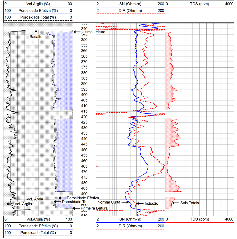
API Geophysical Logging is one of the methods that permit visualizing and analyzing the physical, chemical, and mechanical characteristics of rock formations present in the subsoil that can store water.
The technique is performed in recently drilled wells in sedimentary rock areas, resulting in logs with the exclusive HIDRO-LOG™ interpretation.
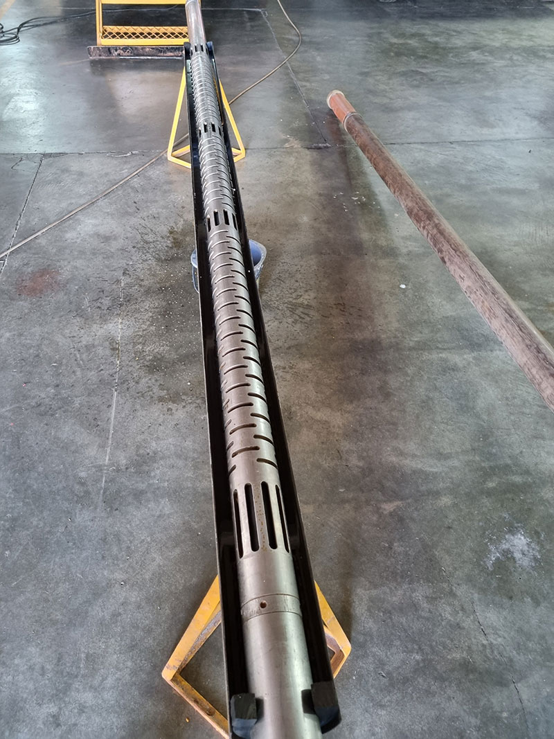
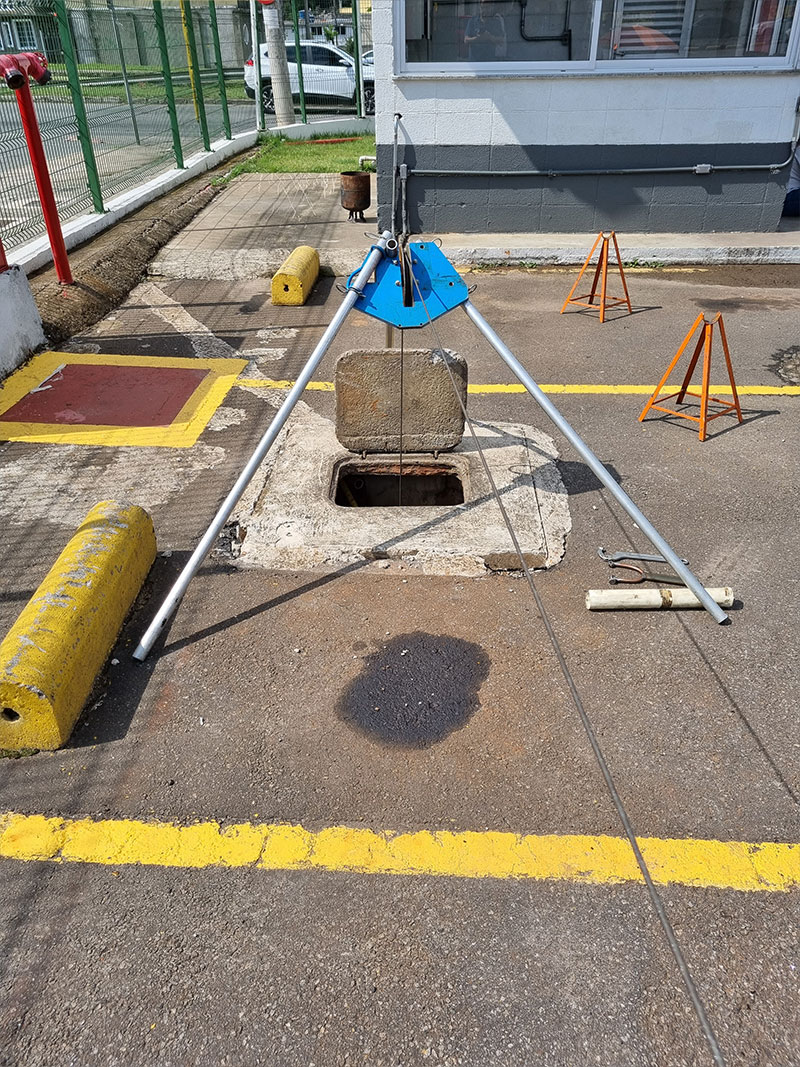
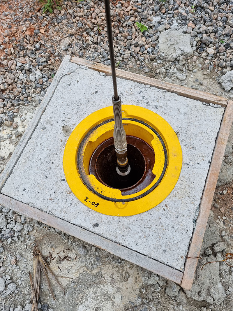
This operation is performed using probes with sensors, computerized instruments, and special cables, allowing for a complete analysis of the subsurface and precise location of aquifers. This precision provides the installation of filters and pumping chambers in the most appropriate locations of the wells, providing the following benefits:

Longer life span

Lower maintenance costs.

Maximum water flow with good quality.

Understanding of Regional Production Capacity
API
Hydrolog works with API standards for the submission of logs, reports, units, reference values, and calibrations of its geophysical equipment. The American Petroleum Institute is a globally recognized organization for its technical precision and standards for presenting data generated in the geophysical industry for oil or water wells.